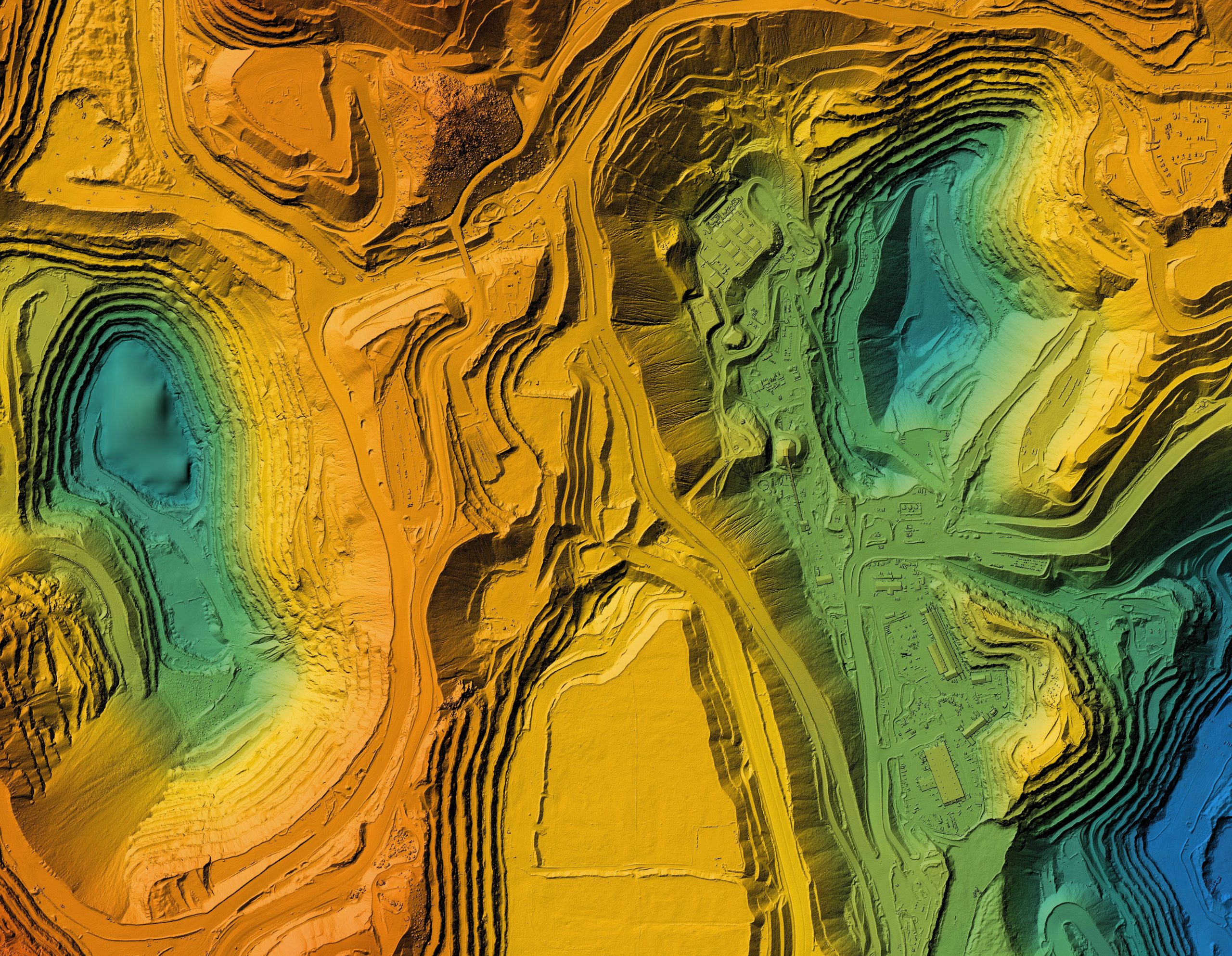
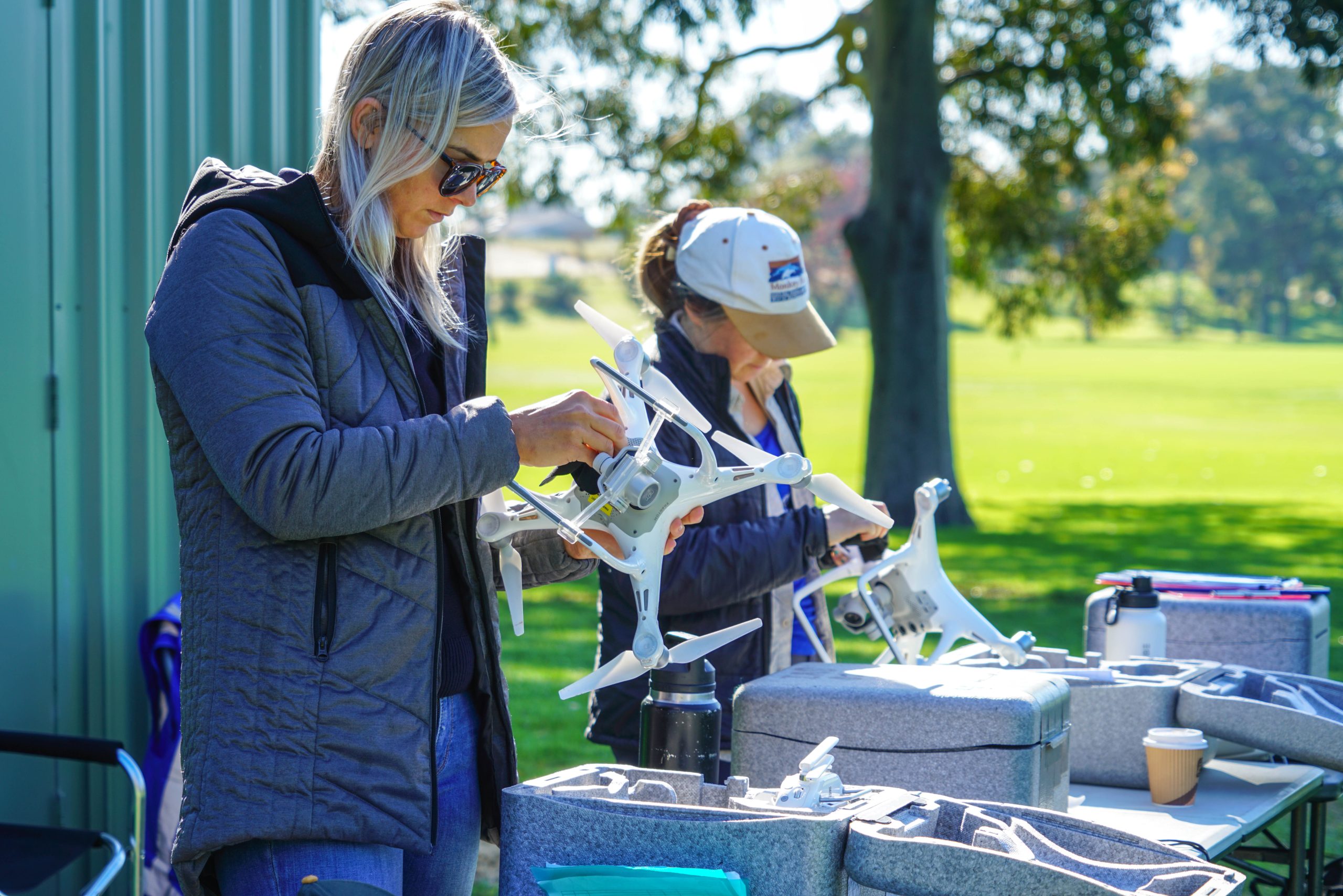
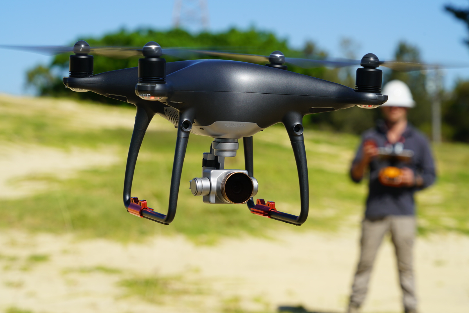
This course is designed to get you all the info you need to move into mapping and 3D image capturing. Our experienced instructors will take you through the details of obtaining and processing mapping and 3D imagery with your drone. By the end of the course you will have a comprehensive understanding of:
– Best practices for both camera and drone during a capture process that’s specific to mapping.
– How to use autonomous flight in the context of mapping, and the various software packages available.
– Considerations when using sensors beyond RGB: Multi-spectral, Hyper-spectral and Thermal.
– Post -processing and delivering a straightforward 2D map to your client.
– How to process and deliver maps and models


